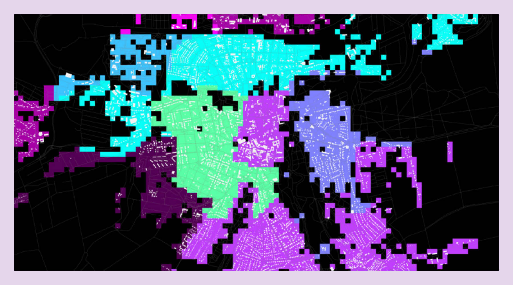
Cities are intricate entities with multiple layers of complex interactions between human, natural and built environment. Urban and architectural design requires an understanding of this complex interaction. Innovative technologies, the integration of heterogeneous urban data and their modelling, analysis and visualisation of city models is a key to decode cities, from a phenomenon to spatial compositions. Geographic Information Systems (GIS) enables multilayer spatial data modelling and spatial analysis. In this online course, you will learn foundations of GIS for urban planners and architects. You will work through the various course projects such as the essential interface functions and geoprocessing tools to gain experience and skills to view, understand, query, visualize, and interpret spatial data to reveal patterns and relationships for problem-solving and better decision making. In each module, concepts are reviewed in a little excercise to reinforce what you have learned. Each module builds on the knowledge of the previous one and culminates in a final project in which you design and conduct a complete GIS-based analysis-from identifying a concept, question, or problem to develop to the final data products and maps to add to your portfolio.
Format
online course
Introduction
Thu, 21.04.22, 11:00
Dates
start 21.04.2022
end 28.07.2022
Place
StudIP
Language
English
Prof. Dr. Vanessa M. Carlow,
M. Murad,
O. Mumm,
C. Karadag